01 The two airports
Albuquerque International Sunport (ABQ) is about sixty-five miles south and is the practical answer for almost everybody: full-size, well connected, with all the car hire firms on site. From the terminal to the Santa Fe Plaza is roughly an hour of driving on Interstate 25.
Santa Fe Regional Airport (SAF) sits about ten miles southwest of the Plaza and handles a small number of commercial routes, which have changed several times in recent years. It is delightful to use when it serves your city: you are in a hire car twelve minutes after landing. Check current routes rather than assuming, and price the difference against the drive from Albuquerque, which is often smaller than the fare gap.
A note on elevation
Albuquerque sits at about 5,300 feet and Santa Fe at 7,199. The drive north climbs steadily, most obviously up the escarpment at La Bajada. If you are sensitive to altitude, an overnight in Albuquerque before coming up is a reasonable strategy, and the acclimatization timeline explains why.
02 The drive up from Albuquerque
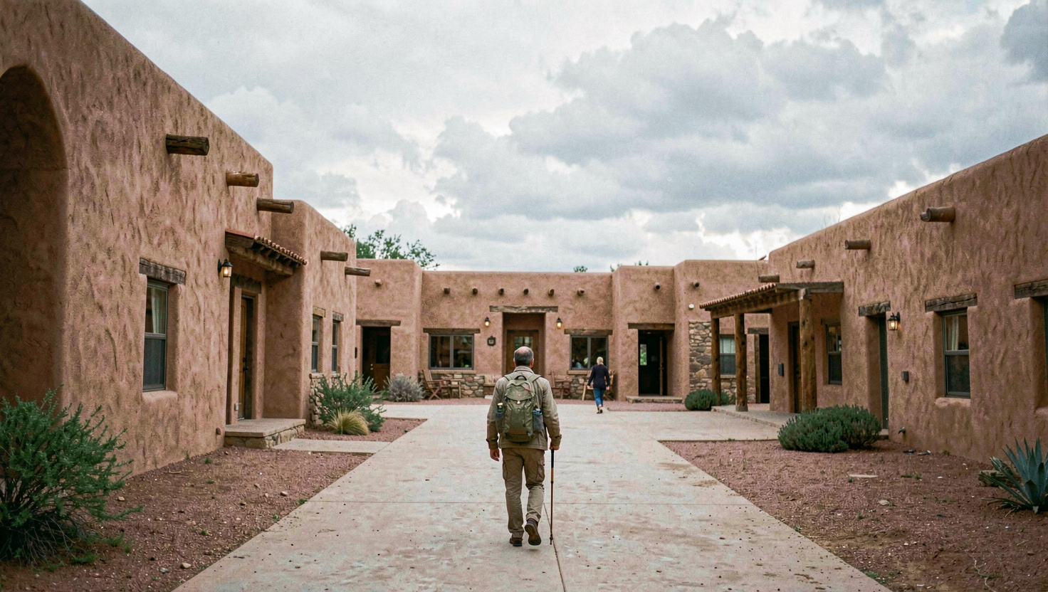
Interstate 25 runs northeast from Albuquerque to Santa Fe. It is a straightforward hour, climbing through the Santo Domingo and Cochiti country with the Sandia mountains behind you and the Sangre de Cristo ahead. The main exits for the city, from south to north, are the NM 599 relief route around the west side, Cerrillos Road, Old Pecos Trail, and Old Las Vegas Highway.
Which one you take matters more than it should, because Santa Fe's street pattern is not a grid and getting the wrong exit costs fifteen minutes. If you are heading downtown, Old Pecos Trail is generally the cleanest run in. If you are heading for the corridor or the south side, take Cerrillos. If you are going north of the city, to the opera or Tesuque, the NM 599 bypass saves you crossing town entirely.
03 Trains: the Rail Runner and Lamy
The New Mexico Rail Runner Express is a commuter train linking Santa Fe with Albuquerque, with the northern terminus in the Railyard and two more stops in the south of the city. The run to downtown Albuquerque takes around ninety minutes through the Rio Grande valley, and it is a good deal more pleasant than the interstate. Schedules are built around weekday commuting, with a lighter weekend service, so check the timetable before building a day around it.
Amtrak does not serve Santa Fe. The Southwest Chief, running between Chicago and Los Angeles, stops at Lamy, a village eighteen miles southeast that exists largely because the railroad went there in 1880 instead of coming to Santa Fe. There is no scheduled public transport from the Lamy depot: arrange a ride in advance, or you will be standing on a platform in open country wondering what happened.
04 Shuttles and regional buses
Shared shuttle services run between Albuquerque airport and Santa Fe on a fixed schedule and are the standard answer for anybody arriving without a hire car. Book ahead, particularly on a market weekend.
The genuinely underused resource is the regional transit district, which operates fare-free bus routes across north central New Mexico: Española, Los Alamos, Taos, Pojoaque and several pueblos. For a visitor without a car who wants to see something beyond the city, or for a long-stay resident, that network is remarkable and almost invisible in guidebooks. Routes and frequencies are modest, so plan around the timetable rather than expecting turn-up-and-go.
05 Getting around town
Santa Fe Trails runs the city bus network, and in recent years has operated it without fares; confirm the current arrangement locally. A free shuttle loops the downtown core, the Railyard and the capitol district, which covers most visitor needs within about a mile of the Plaza.
Otherwise the honest answer is that Santa Fe is a walking city inside a driving city. Everything in the Plaza cluster is on foot. Museum Hill, the Railyard and Canyon Road are all walkable from a central base if you are prepared for hills. Anything beyond that, including every day trip in this guide, needs a vehicle.
06 Parking downtown
The Plaza is surrounded by paid, time-limited parking and a small number of municipal garages on Sandoval Street, Water Street and around the Railyard and convention centre. Street meters have time limits that are enforced. Rules on evenings and Sundays change from time to time, so read the sign rather than the guidebook.
- Use a garage and stop circling. The difference in cost is trivial and the difference in temper is not.
- Park once for the day. Everything downtown is within ten minutes on foot of everything else.
- Arrive before ten on a summer weekend, or accept the outer streets.
- On market and Fiesta weekends, park well out and walk in. Streets close, and the closures are not always where you expect.
- Watch for residential permit zones on the Eastside and around the capitol. They are signed and they are enforced.
07 The four roads worth taking slowly
Northern New Mexico is one of the great driving regions in the country, and the interstate is the least interesting way through any of it.
| Route | Roads | Time | What it is |
|---|---|---|---|
| The High Road to Taos | NM 503, 98, 76, 518 | 2 h 30 with stops | Mountain villages: Chimayó, Córdova, Truchas, Las Trampas, Peñasco. Weaving, santeros, and three of the finest surviving colonial churches in the state. |
| The Low Road to Taos | US 84/285 then NM 68 | 1 h 30 | Along the Rio Grande through the gorge at Pilar. Fast, dramatic, and the natural return leg after the High Road. |
| The Turquoise Trail | NM 14 south | 1 h 15 to Albuquerque | Through Madrid, a coal town reoccupied by artists, and Cerrillos. A National Scenic Byway and a far better road than the interstate. |
| The Jemez Mountain Trail | US 84/285, NM 502, NM 4 | 3 h as a loop | Past Los Alamos into the Valles Caldera, a vast grassland in a collapsed volcano, with hot springs and red rock at Jemez Pueblo beyond. |
All four cross country where fuel, food and mobile coverage are intermittent. Fill up before you start, take water, and treat the posted times as minimums.
08 Driving in winter
Santa Fe gets snow, clears it reasonably efficiently on the main roads, and leaves residential lanes to the sun. The specific problems are the steep narrow streets of the Eastside, north-facing slopes that stay icy for days, and the sixteen-mile climb up NM 475 to the ski area, which gains around 2,700 feet and is a genuinely different road from the one at the bottom.
Four-wheel or all-wheel drive is not essential in town and is close to essential for the ski road after a storm; chains are sometimes required. Carry a warm layer, a torch and water in any winter car, and give yourself twice the time you think you need. The ski chapter covers the mountain road in more detail.